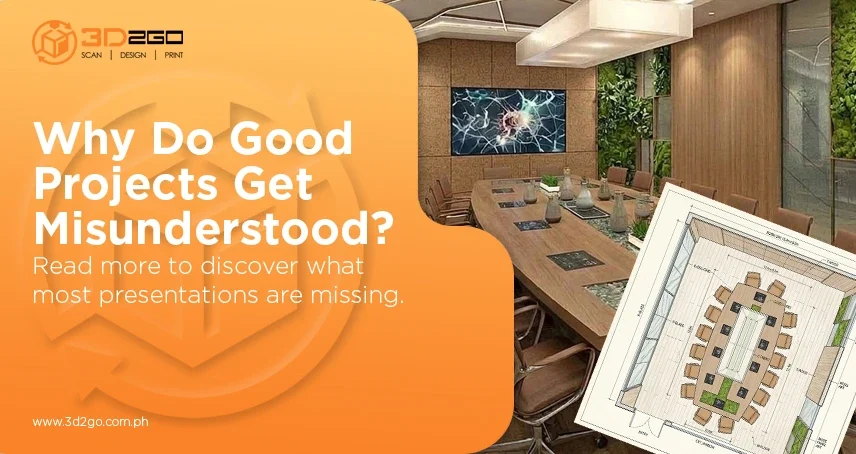
There’s a point in every project where drawings stop being enough.
You’ve got plans, layouts, maybe even detailed blueprints, but when someone asks, “So what will this actually look like?” things get a bit unclear.
That’s where a digital terrain model shifts everything. Instead of explaining, you’re showing. Instead of guessing, people start seeing how everything fits together.
This is exactly why a map 3d model has become essential in commercial projects. It takes something complex and turns it into something instantly understandable, whether you’re presenting to investors, clients, or internal teams.
Seeing What Plans Can’t Show
Traditional plans still matter. They’re precise, technical, and necessary. But let’s be honest, they’re not always easy to interpret.
For someone without a design or engineering background, reading a 2D layout can feel like solving a puzzle. You see lines and numbers, but not the full picture.
A map 3d model fills that gap. It puts everything into perspective, literally. You’re no longer imagining how a building sits on a site or how spaces connect. You can see it, almost as if it already exists.
What Makes a Map 3D Model Different
A map 3d model isn’t just a visual upgrade. It’s a different way of understanding a project.
Instead of isolating a structure, it shows the relationship between everything: buildings, terrain, roads, and surrounding elements.
That context matters more than most people expect. It answers questions early, before they turn into costly revisions later.
Why It Works So Well for Commercial Projects
When you’re dealing with commercial developments, clarity isn’t optional; it’s critical.
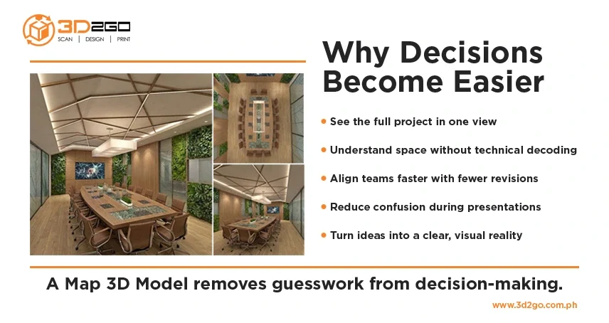
A map 3d model helps simplify decisions that would otherwise take multiple meetings to explain.
It Puts Everything in One View
Rather than jumping between plans and sections, you see the entire layout at once. A map 3d model brings together all moving parts into a single, understandable view.
It Makes Scale Feel Real
Numbers can tell you dimensions, but they don’t always feel accurate. With a map 3d model, scale becomes intuitive. You instantly understand size, spacing, and proportions.
It Speaks to Everyone
Not everyone reads blueprints, but everyone understands visuals. A map 3d model makes communication easier across teams, clients, and stakeholders.
Where You’ll See Map 3D Models in Action
A map 3d model isn’t tied to one industry. It shows up wherever space, layout, and planning matter.
Resorts and Tourism Projects
Developers don’t just sell buildings, they sell experiences.
A map 3d model helps people visualize how guests will move through the space, where key features are placed, and how everything connects.
Schools and Institutional Developments
Campuses often involve multiple buildings and open areas.
Using a map 3d model, planners can present a clearer picture of accessibility, flow, and layout without overwhelming stakeholders.
Commercial and Mixed-Use Spaces
Retail, office, and residential areas all need to work together.
A map 3d model makes it easier to understand how those pieces interact, from traffic flow to spatial organization.
Better Visualization Means Better Decisions
Here’s the reality: most project delays don’t come from lack of effort; they come from misalignment.
Someone misunderstood a layout. A detail was overlooked. A decision was made based on an incomplete understanding.
A map 3d model reduces those risks. It creates a shared visual reference where everyone sees the same thing.
That alone can save time, reduce revisions, and keep projects moving forward without unnecessary setbacks.
The Technology Behind It
Creating a map 3d model today is far more advanced than it used to be.
3D modeling tools allow precise control over structures and terrain.
3D scanning can capture real-world environments, making models more accurate and reliable.
And when needed, these digital models can be turned into physical representations through fabrication methods like 3D printing.
The result isn’t just something that looks good; it’s something that reflects reality as closely as possible.
Why Demand Keeps Growing
There’s a reason more industries are shifting toward visual tools.
According to research, the global 3D visualization market continues to grow as businesses look for better ways to present and plan projects.
That growth reflects a simple shift in expectations. People don’t just want data, they want clarity.
A map 3d model delivers that clarity in a way traditional methods simply can’t.
Why More Businesses Are Using Map 3D Models Early
Waiting until later stages to visualize a project often leads to avoidable issues.
By introducing a map 3d model early, businesses can spot problems sooner, refine layouts faster, and align stakeholders before major decisions are locked in.
It’s not just a presentation tool; it’s part of the planning process itself.
Turning Plans Into Something People Understand
At the end of the day, a project isn’t just about building, it’s about making sure everyone understands what’s being built.
A map 3d model bridges that gap. It takes something complex and makes it clear, something abstract and makes it real.
For commercial projects, that clarity can make the difference between smooth execution and constant back-and-forth.
If you’re looking to present your project with more confidence and precision, working with a team that knows how to build accurate, reliable models matters.
You can start here with 3D2GoPH.