
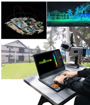
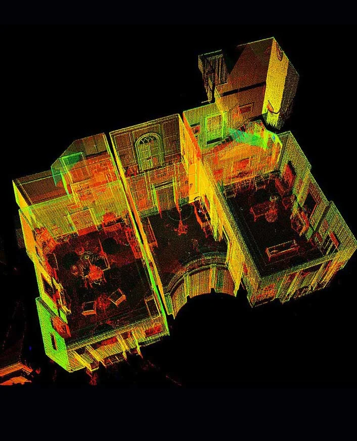
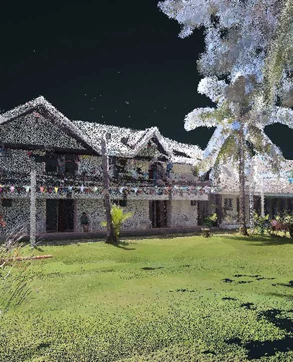
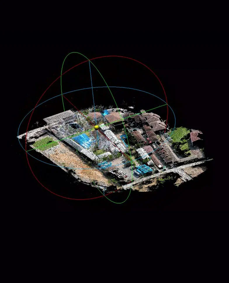
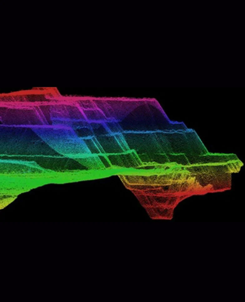
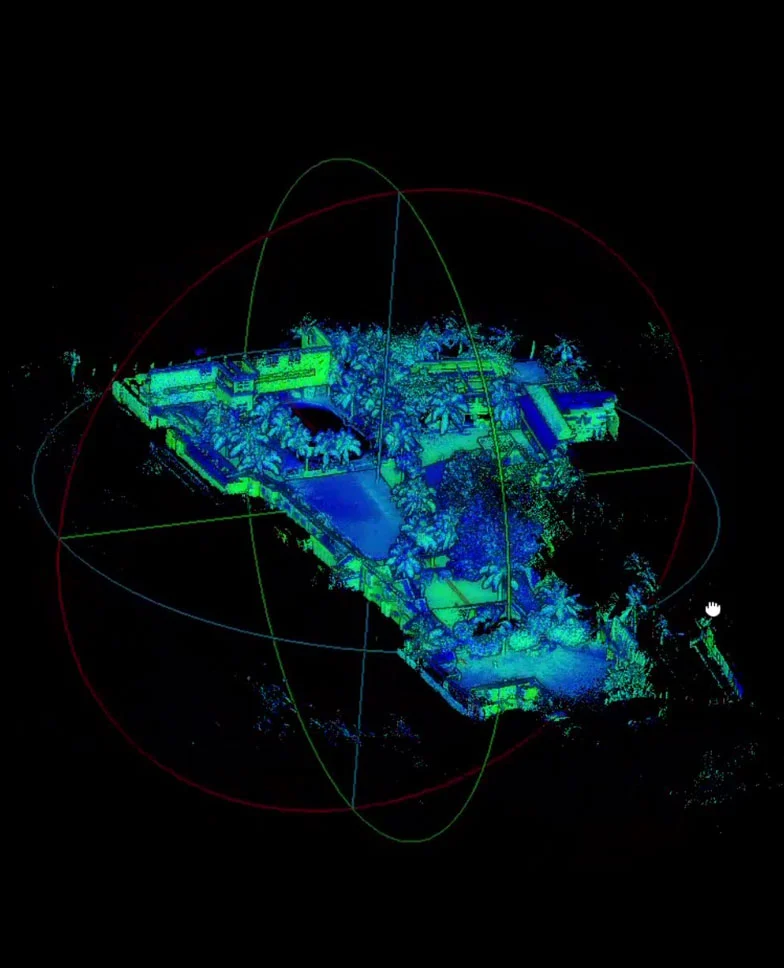
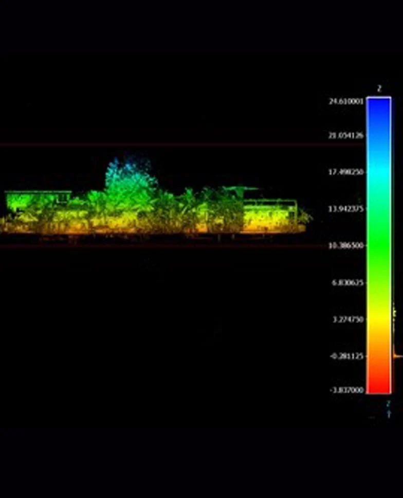
Our LiDAR services designed for both indoor and outdoor scanning, making them perfect for a wide range of scenarios.
Whether you’re working in a tight indoor space or surveying a vast outdoor site, our solutions adapt to your environment. LiDAR technology allows for accurate data collection regardless of lighting conditions, surface textures, or terrain complexity. From construction sites and architectural spaces to natural landscapes and infrastructure projects, the possibilities are nearly endless.
In outdoor settings, LiDAR is commonly used for land development, road planning, agriculture, and environmental monitoring. It helps create accurate topographic maps, monitor erosion, and even assess flood risks. For city planners and engineers, it’s a reliable way to map roads, utilities, and large-scale infrastructure with high precision.