Where can laser scanning services be used
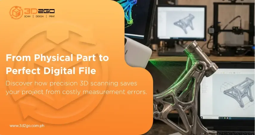
3D laser scanning provides a high level of accuracy to any project requiring field measurements or as-builts. A 3D laser scanner uses a concentrated beam of light to digitally map the surface of any object. The laser sweeps the object to create millions of points called a point cloud. It is used to extrapolate the object’s shape, location, and even color.
Laser scans give our engineers and designers a virtually endless number of node points that can be used in the 3D CAD model to dimension to or design against which helps facilitate constructability reviews and allows for higher accuracy in locating new geometry and connecting tie-in points.
Services include but not limited to:
- Field measurements
- Site layout & modeling
- Animated walkthrough
- Creating accurate as-built drawings
- Reducing interferences and improving the accuracy of existing connections
- Road design
- Excavation measuring
What is an aerial survey?
Before using, what are aerial survey sensors exactly?
Basically, an aerial survey is a method of collecting geomatics or other imagery. It is being done by using aerial methods such as:
- Airplanes
- Helicopters
- UAVs
- Balloons
Typical types of data collected include:
- Aerial photography
- Lidar
- Remote sensing
- Geophysical data
Aerial surveys need a sensor. This is then fixed to the interior or the exterior of the airborne platform. It should have a line-of-sight to the target sensing.
Aerial survey systems are typically operated with the following:
Flight navigation software
Directs the pilot in flying with the desired pattern for the survey.
GNSS
Combination of GPS and inertial measurement unit (IMU). This provides the position and orientation information for the data.
Gyro-stabilized mount
This counters the effects of aircraft roll, pitch, and yaw.
Data storage unit
Save the data that is being recorded.
Lidar uses based on functionality
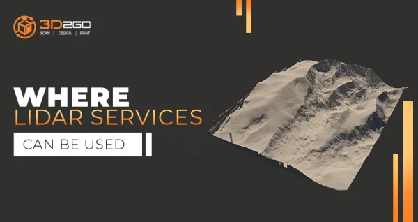
LiDAR, or light detection and ranging, uses a pulsed laser to calculate an object’s variable distances from the earth surface. These light pulses are put together with the information collected by the airborne system. They then generate accurate 3D information about the earth’s surface and the target object.
There are three primary components of a LiDAR instrument. The scanner, laser, and GPS receiver. Other elements that play a vital role in the data collection and analysis are the photodetector and optics. Most government and private organizations use helicopters, drones, and airplanes for acquiring LiDAR data.
LiDAR systems are divided into two types based on their functionality:
Airborne LiDAR
Airborne LiDAR is installed on a helicopter or drone for collecting data. As soon as it’s activated, Airborne LiDAR emits light towards the ground surface, which returns to the sensor immediately after hitting the object, giving an exact measurement of its distance. Airborne LiDAR is further divided into two types:
- Topological LiDAR
- Bathymetric LiDAR
Terrestrial LiDAR
Unlike Airborne, Terrestrial LiDAR systems are installed on moving vehicles or tripods on the earth’s surface for collecting accurate data points. These are quite common for observing highways, analyzing infrastructure, or even collecting point clouds from the inside and outside of buildings. Terrestrial LiDAR systems have two types:
- Mobile LiDAR
- Static LiDAR
At 3D2GO, we offer end-to-end services. Worried after the scanning? Don’t bother looking anywhere else because we can cover other services. You can save time by contacting others. Instead, use that time to work on other projects as we take our next steps with you.
Get in touch with us by sending us files in .obj or .stil format in our email address management@my3d.com.ph. You can also reach us through our Facebook and Instagram pages today!